Restricted Area App
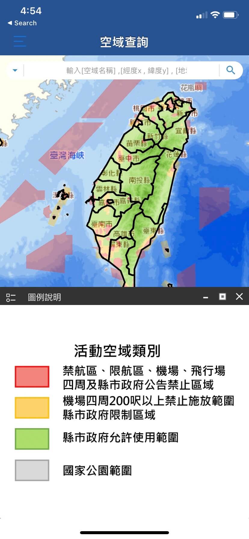
Drone Map


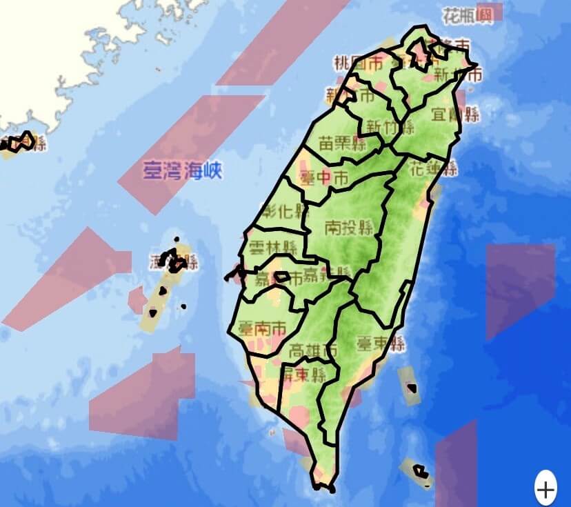
Restricted Area Map
Go to: www.FLYERLEE.com Common Restricted Area Map for Drones
| Frame | Type of Restriction | Description |
|---|---|---|
| Red Frame | Airport Restricted Area | It is prohibited to release objects that hinder flight safety |
| Blue Frame | Height restriction below 60 meters above the airport | It is prohibited to release objects that hinder flight safety above 60 meters from the airport |
| Purple Frame | Day and Night Restricted Area | Taipei Flight Information Area Chart – Restricted Area |
| Orange Frame | NOTAM Restricted Area | Implemented only after the issuance of a flight notice, no restrictions during normal times |
| Turquoise Frame | Other Restricted Areas | Other regulations prohibiting the operation of drones |
| Green Frame | Military Bases and Military Lands | Measures to deal with illegal entry of objects that hinder flight safety into military bases |
Reference
App
禁航區
- 空拍機常見之禁航區地圖 on Google Map 台灣禁限航區 – Flyer Lee Photography
- Drone restricted airspace in Taiwan – Flyer Lee Photography
- www.FLYERLEE.com 空拍機常見之禁航區地圖
- www.FLYERLEE.com Drone restricted area in Taiwan
